


Highlights
- NWS Phoenix confirmed an outflow boundary moving northward through the metro at 9:10 p.m. Saturday with gusts of 25 to 35 mph.
- A Flood Watch runs from 5 p.m. Saturday through 5 a.m. Sunday, with eastern higher terrain potentially seeing 0.50 to 1.0 inches of rain.
- High temperatures will fall from Saturday's 113 degrees to 100 degrees by Monday before rebounding to around 105 degrees late next week.
- Storm chances climb to 40% Sunday night and hold through Monday evening, per Arizona's Family meteorologist Pete Mangione.
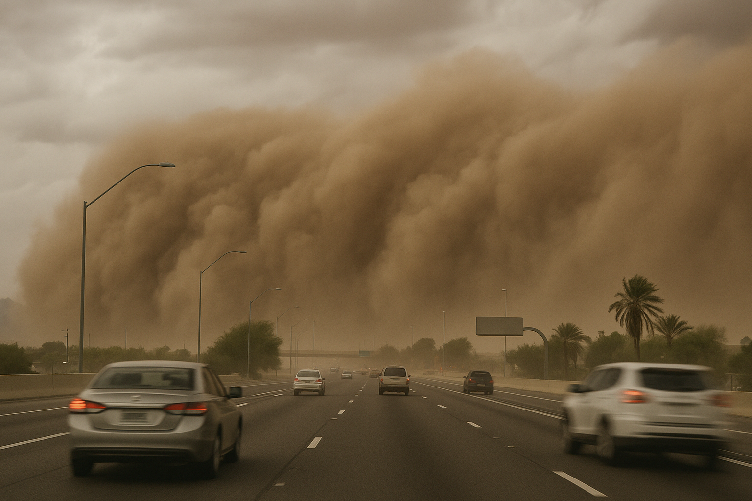
An outflow boundary pushed blowing dust and wind gusts of up to 35 mph through the Phoenix metro Saturday night, triggering First Alert Days that Arizona's Family meteorologist Pete Mangione says remain in effect through Monday.
NWS Phoenix posted at 9:10 p.m. MST that the boundary was "currently progressing northward through the Phoenix Metro area," warning of gusts between 25 and 35 mph and hazy conditions from lofted dust. AZCentral and Yahoo News both reported similar blowing-dust and wind conditions bearing down on the Valley in the same weather pattern.
A Flood Watch begins at 5 p.m. Saturday and runs until 5 a.m. Sunday. Isolated areas in the eastern higher terrain could see rainfall between 0.50 and 1.0 inches. Once the watch expires, isolated showers and storms remain possible into Sunday.
Sunday late morning is expected to be dry for most of the Valley, but storm chances rise from 20% during the day to 40% Sunday night. That 40% chance of rain and thunderstorms continues through Monday evening.
After reaching 113 degrees Saturday, high temperatures are forecast to drop to 106 degrees Sunday and 100 degrees Monday. Highs settle in the 102 to 104 degree range Tuesday and Wednesday before warming back to around 105 degrees late next week.
The First Alert Days designation covers Saturday evening through Monday.
Sources
Every factual claim in this article traces to one of the sources below. See how we work for the editorial process.
- AZ Family (3TV/CBS5) retrieved 30/08/2026 04:51
- AZ Central retrieved 30/08/2026 04:51
- yahoo.com retrieved 30/08/2026 04:51
Authored by The Scottsdale Signal. Drafted by AI from primary-source material under our beat-specific editorial guides; reviewed by humans before publish under our five-gate process. Sources retrieved at 30/08/2026 04:51. Every claim traces to a source.

