


Highlights
- Phoenix's extreme heat warning is ending as monsoon moisture moves into the Valley.
- Residents face blowing dust, heavy rain, and lower temperatures through the weekend.
- Air quality, dust, and flood alerts are active, according to FOX 10 and corroborating outlets including KTAR and AZCentral.
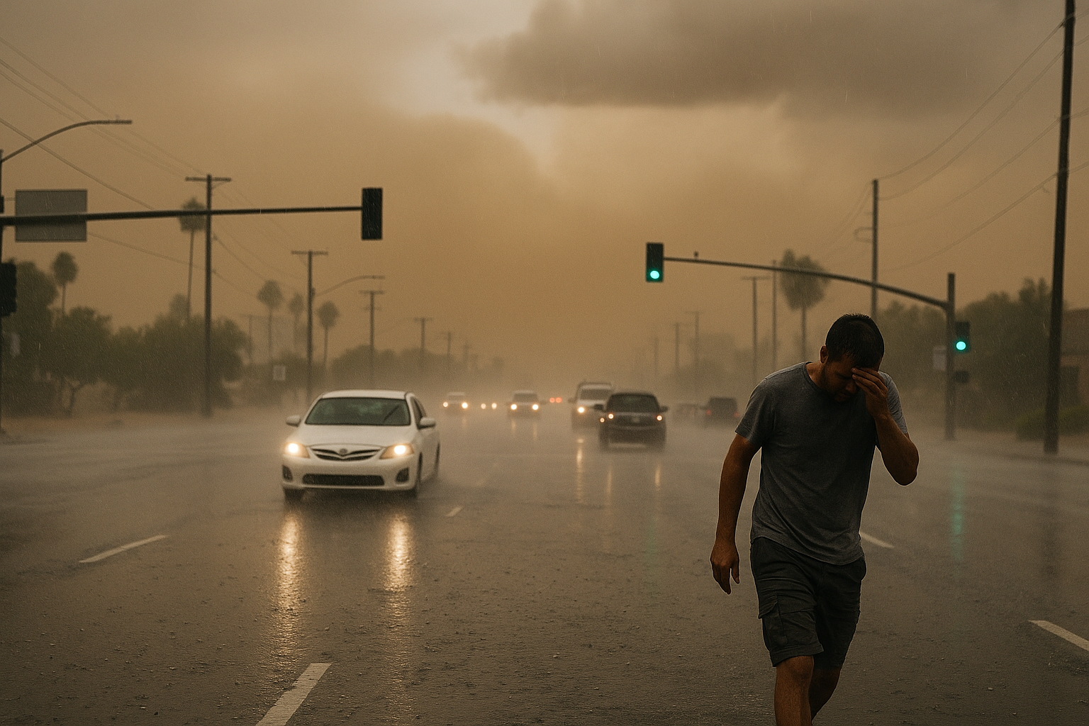
Phoenix is trading triple-digit heat for blowing dust and heavy rain this weekend as monsoon moisture pushes into the Valley and brings the region's extreme heat warning to a close, FOX 10 reported Sunday. Meteorologist Erica Horvatin is tracking active air quality, dust, and flood alerts tied to the shift.
The pattern change is drawing broad coverage. KTAR reported that thunderstorms are forecast as the extreme heat warning winds down, while AZCentral noted increasing storm chances following the heat stretch. The National Weather Service Phoenix office has flagged Sunday and Monday as the most active periods, with all thunderstorm hazards possible and the greatest storm coverage expected across south-central Arizona.
For Scottsdale and Paradise Valley residents, the combination of outflow boundaries and dust is the near-term watch item. A prior NWS advisory placed an outflow boundary near Paradise Valley moving northwest at 40 mph, according to AZCentral's August 19 coverage of a similar event this monsoon season.
The NWS Phoenix forecast page advises monitoring conditions through Monday.
Sources
Every factual claim in this article traces to one of the sources below. See how we work for the editorial process.
- Fox 10 Phoenix retrieved 30/08/2026 00:51
- ktar.com retrieved 30/08/2026 00:51
- AZ Central retrieved 30/08/2026 00:51
- weather.gov retrieved 30/08/2026 00:51
- AZ Central retrieved 30/08/2026 00:51
Authored by The Scottsdale Signal. Drafted by AI from primary-source material under our beat-specific editorial guides; reviewed by humans before publish under our five-gate process. Sources retrieved at 30/08/2026 00:51. Every claim traces to a source.

