


Highlights
- Northern and southern Arizona are under a flash flood watch for most of Tuesday, July 21.
- Coconino and Yavapai counties in the north and parts of southern Arizona are among the affected areas.
- Quarter-size hail is possible alongside flash flood and thunderstorm conditions, azcentral reported.
- NWS Phoenix and NWS Flagstaff are both active with alerts; check weather.gov/psr for current watches.
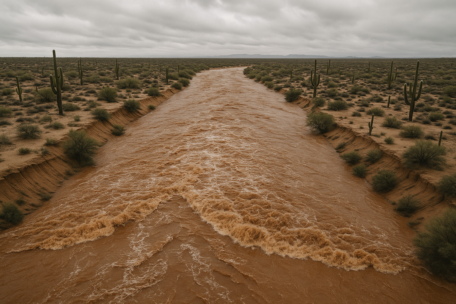
Northern and southern Arizona are under a flash flood watch for most of Tuesday, July 21, 12News reported, citing the National Weather Service.
The watch covers the state's two bookend regions. In the north, azcentral reported that the National Weather Service in Flagstaff issued flash flood and thunderstorm warnings for Coconino and Navajo counties, with quarter-size hail expected alongside the flooding threat. In the south, KOLD reported that the flash flood watch for parts of southern Arizona has been extended.
Scottsdale and Paradise Valley fall within the broader Valley corridor that has seen repeated flood activity this monsoon season. A July 18 flash flood warning covered Maricopa, Pinal, and Gila counties, and a July 17 storm dropped more than an inch of rain on Apache Junction with parts of east Maricopa County recording up to 4 inches per hour, according to azcentral and azfamily reporting.
Residents should monitor the NWS Phoenix forecast office for updated watch and warning boundaries through Tuesday evening.
Sources
Every factual claim in this article traces to one of the sources below. See how we work for the editorial process.
- 12News retrieved 21/07/2026 16:49
- AZ Central retrieved 21/07/2026 16:49
- kold.com retrieved 21/07/2026 16:49
- AZ Central retrieved 21/07/2026 16:49
- AZ Family (3TV/CBS5) retrieved 21/07/2026 16:49
Authored by The Scottsdale Signal. Drafted by AI from primary-source material under our beat-specific editorial guides; reviewed by humans before publish under our five-gate process. Sources retrieved at 21/07/2026 16:49. Every claim traces to a source.

