


Highlights
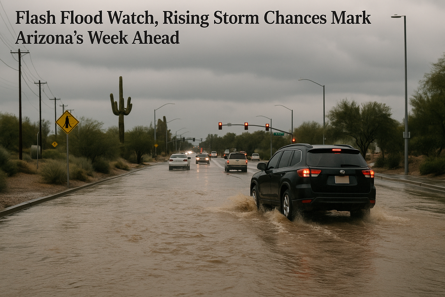
- A Flood Watch is in effect Monday for southeastern Arizona, including portions of Pinal County.
- Storm chances in the Phoenix area run 20 to 30 percent Monday, rising Tuesday and Wednesday with heavy rainfall and localized flash flooding as the primary threats.
- Dry, quiet weather returns Friday and through the following weekend, with temperatures climbing back to about 104 degrees.
- Valley highs hover in the upper 90s to low 100s through Thursday before a warming trend takes hold over the weekend.
A Flood Watch is in effect Monday for southeastern Arizona, including portions of Pinal County, as monsoon moisture pushes storm chances to 20 to 30 percent across the Phoenix area, Arizona's Family meteorologist April Warnecke reported.
The bigger threat through midweek is heavy rainfall and localized flash flooding, not wind, according to Warnecke. Storm chances increase Tuesday and Wednesday across the Valley and statewide, with elevated odds persisting into early Thursday. Afternoon temperatures stay near or just below average through Thursday, ranging from the upper 90s to the low 100s, with Monday's Valley high reaching 102 degrees. Dew points in the 60s keep conditions humid.
The National Weather Service Phoenix office and ABC15 are tracking the same pattern, and KGUN9 reports an active week of daily storm chances across southeastern Arizona.
Conditions dry out Friday, with quiet weather expected through the following weekend. A warming trend then pushes Valley temperatures back to about 104 degrees.
Sources
Every factual claim in this article traces to one of the sources below. See how we work for the editorial process.
- AZ Family (3TV/CBS5) retrieved 14/09/2026 13:09
- kgun9.com retrieved 14/09/2026 13:09
- ABC15 Arizona retrieved 14/09/2026 13:09
Authored by The Scottsdale Signal. Drafted by AI from primary-source material under our beat-specific editorial guides; reviewed by humans before publish under our five-gate process. Sources retrieved at 14/09/2026 13:09. Every claim traces to a source.

