


Highlights
- A Flood Watch is in effect for much of Arizona Wednesday, expiring at 11 p.m., with heavy rain and flash flooding the primary threat.
- Rainfall totals of one to three inches are possible across Southcentral Arizona, with rain now expected to peak this afternoon and evening.
- Wednesday's storm is forecast to be the final monsoon event of the season, with a dry weekend ahead and temperatures climbing back toward 100 degrees by Friday.
- Maricopa County's flooded roadway map at alert.fcd.maricopa.gov tracks real-time stream and impoundment conditions across the region.
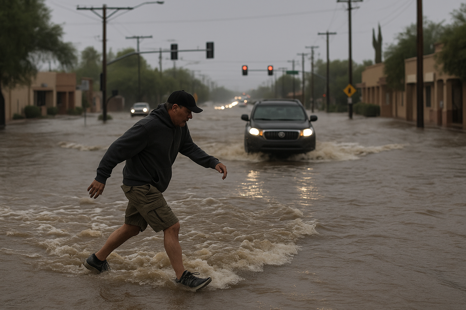
A Flood Watch is in effect for much of Arizona Wednesday, with heavy rain and flash flooding forecast to peak this afternoon and evening, Arizona's Family meteorologist April Warnecke reported. The watch expires at 11 p.m.
Rain across the Valley was pushed back several hours from the original morning forecast. Rainfall totals of one to three inches are possible across Southcentral Arizona. A high of 89 degrees is expected Wednesday afternoon under mostly cloudy skies, with rain tapering off overnight after an active evening of off-and-on thunderstorms.
The storm is forecast to be the last monsoon event of the season. Temperatures climb to the mid-90s Thursday and near 100 degrees by Friday. The weekend is expected to be dry, with afternoon highs near 102 degrees and morning lows in the 70s. A slight chance of rain returns early next week from a trough of low pressure rather than monsoon flow.
The Flood Watch was also confirmed by KOLD in Tucson, which reported the watch covering southern Arizona. Maricopa County's real-time flooded roadway map tracks current rainfall, stream levels, and impoundment conditions across the county and nearby areas.
The watch expires at 11 p.m. Wednesday.
Sources
Every factual claim in this article traces to one of the sources below. See how we work for the editorial process.
- AZ Family (3TV/CBS5) retrieved 16/09/2026 13:23
- kold.com retrieved 16/09/2026 13:23
- Maricopa County retrieved 16/09/2026 13:23
Authored by The Scottsdale Signal. Drafted by AI from primary-source material under our beat-specific editorial guides; reviewed by humans before publish under our five-gate process. Sources retrieved at 16/09/2026 13:23. Every claim traces to a source.

