


Highlights
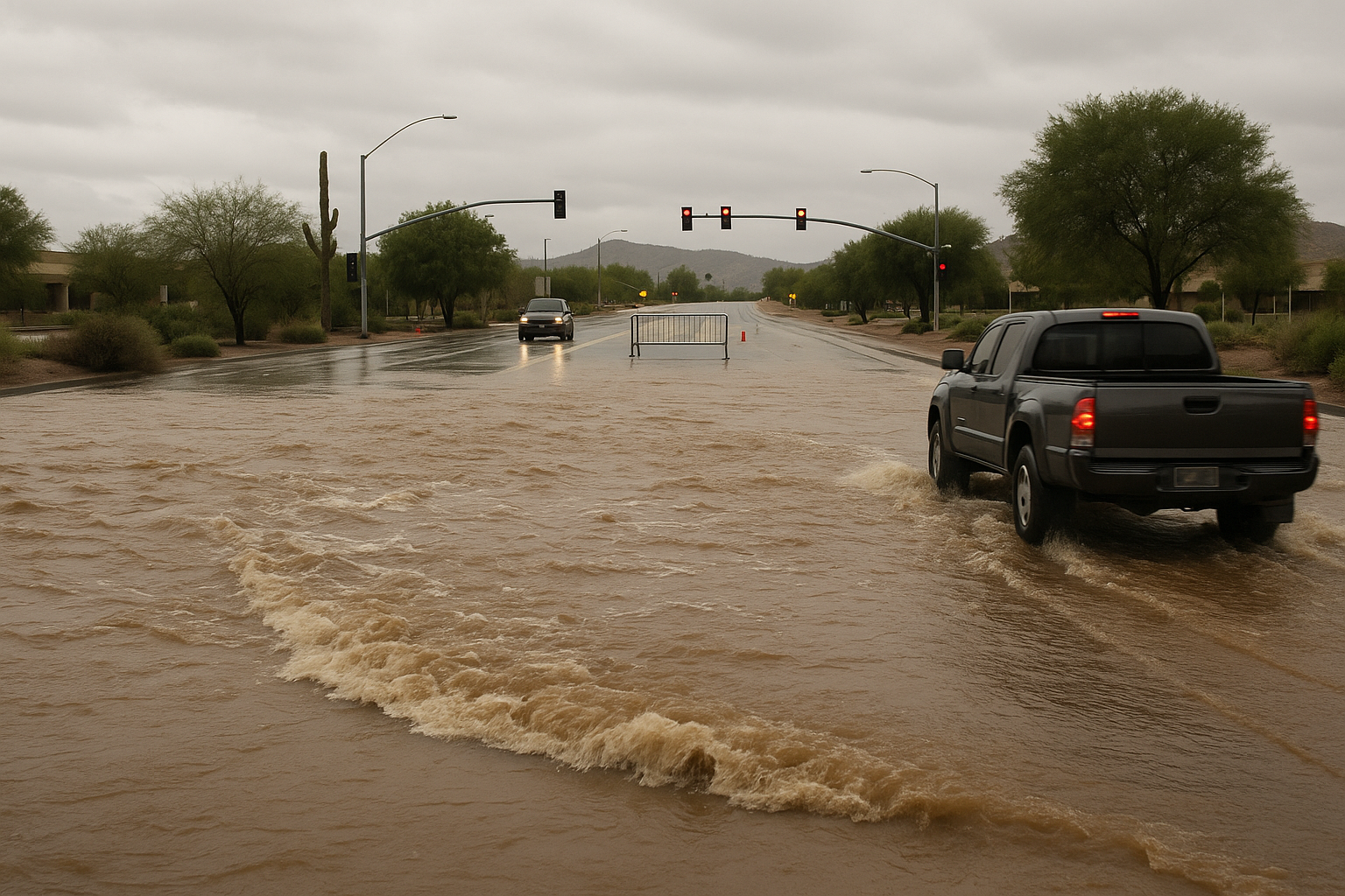
- A Flood Watch is in effect through noon Monday for the Phoenix Valley, with heavy rain and flooding possible.
- The high country faces a Flood Watch through midnight Monday, with flooding risk throughout the day.
- A tropical system in the Pacific may push heavy moisture into Arizona from Friday through the holiday weekend.
- Drier, slightly warmer conditions are expected Tuesday through Thursday before the next weather pattern arrives.
A Flood Watch is in effect through noon Monday for the Phoenix Valley, where a 40% chance of showers and thunderstorms accompanies a forecast high of 96 degrees, Arizona's Family meteorologist April Warnecke reported. The watch extends through midnight in the high country, where heavy rain and flooding are possible throughout the day.
The alert is corroborated by KTAR and ABC15, both of which reported the same Valley flood watch conditions Monday morning.
Drier air and slightly warmer temperatures are expected Tuesday through Thursday in the Valley before conditions shift again. Warnecke flagged a tropical system in the Pacific that could push abundant moisture into Arizona from Friday through the holiday weekend, bringing thick cloud cover, cooler temperatures, and a chance for heavy rain. The forecast for that system will sharpen over the next several days.
What areas are under the Flood Watch?
The National Weather Service issued a Flood Watch covering Cave Creek, New River, Deer Valley, Central Phoenix, and North Phoenix, according to an NWS alert in the background research pack. The Valley watch expires at noon; the high-country watch runs through midnight.
Updates on the approaching Pacific system are expected as the week progresses.
Sources
Every factual claim in this article traces to one of the sources below. See how we work for the editorial process.
- AZ Family (3TV/CBS5) retrieved 31/08/2026 13:21
- ktar.com retrieved 31/08/2026 13:21
- ABC15 Arizona retrieved 31/08/2026 13:21
- api.weather.gov retrieved 31/08/2026 13:21
Authored by The Scottsdale Signal. Drafted by AI from primary-source material under our beat-specific editorial guides; reviewed by humans before publish under our five-gate process. Sources retrieved at 31/08/2026 13:21. Every claim traces to a source.

