


Highlights
- Flood watches are active statewide across Arizona as of Thursday, July 16.
- Phoenix faces increased storm chances Thursday evening before a temperature cooldown into the 90s.
- The National Weather Service expects thunderstorm hazards to shift from severe winds and dust to primarily flash flooding.
- ABC15 and AZFamily both confirm the monsoon pattern is active, with a First Alert Day declared for Wednesday storms.
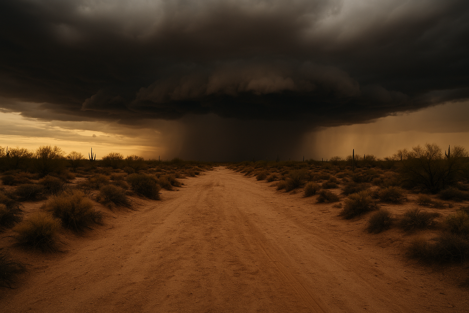
Flood watches are active across Arizona on Thursday, July 16, as monsoon moisture intensifies and storm chances rise into the evening, FOX 10 meteorologist Krystal Ortiz reported. Phoenix is expected to see an uptick in storm activity Thursday evening before temperatures cool into the 90s.
The National Weather Service Phoenix forecast office warns that abundant moisture is overspreading the region and that thunderstorm hazards are expected to transition from severe winds and dust to primarily flash flooding, with shower and storm activity likely to continue.
ABC15 and AZFamily are both tracking the same pattern. AZFamily declared a First Alert Day for Wednesday's monsoon storms and reported more rain on the way. ABC15 confirmed the 2026 monsoon remains in active play across the state.
Residents in low-lying areas and near washes should monitor NWS alerts and avoid flooded roadways. Updated watches and warnings are posted at weather.gov/psr.
Sources
Every factual claim in this article traces to one of the sources below. See how we work for the editorial process.
- Fox 10 Phoenix retrieved 16/07/2026 15:49
- weather.gov retrieved 16/07/2026 15:49
- AZ Family (3TV/CBS5) retrieved 16/07/2026 15:49
- ABC15 Arizona retrieved 16/07/2026 15:49
Authored by The Scottsdale Signal. Drafted by AI from primary-source material under our beat-specific editorial guides; reviewed by humans before publish under our five-gate process. Sources retrieved at 16/07/2026 15:49. Every claim traces to a source.

