


Highlights
- Phoenix faces isolated storm chances Thursday before an extreme heat watch takes effect next week.
- The National Weather Service confirms the extreme heat watch is in effect for multiple Valley zones including Central Phoenix and the Northwest Valley.
- The NWS describes Thursday as one of the more active days of the 2026 monsoon season, with widespread storm chances across a large portion of the forecast area.
- AZFamily and the NWS Phoenix office both corroborate the incoming heat event following the storm window.
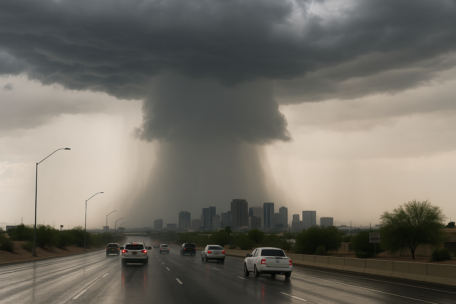
Phoenix is tracking isolated storm chances Thursday before an extreme heat watch takes hold next week, FOX 10 meteorologist Ashley Loaeza reported.
The National Weather Service Phoenix office called Thursday one of the more active days of the monsoon season, citing "widespread chances for showers and thunderstorms across a large portion of the forecast area." The NWS has issued an extreme heat watch covering the Northwest Valley, Buckeye/Avondale, Deer Valley, and Central Phoenix zones.
AZFamily also reported that storms and blowing dust remain possible before the heat returns to the Phoenix area, consistent with the NWS alert language.
Residents should expect a narrow window of storm activity before conditions shift. The NWS extreme heat watch for the affected Valley zones remains in effect heading into next week.
Sources
Every factual claim in this article traces to one of the sources below. See how we work for the editorial process.
- Fox 10 Phoenix retrieved 13/08/2026 15:15
- weather.gov retrieved 13/08/2026 15:15
- api.weather.gov retrieved 13/08/2026 15:15
- AZ Family (3TV/CBS5) retrieved 13/08/2026 15:15
Authored by The Scottsdale Signal. Drafted by AI from primary-source material under our beat-specific editorial guides; reviewed by humans before publish under our five-gate process. Sources retrieved at 13/08/2026 15:15. Every claim traces to a source.

