


Highlights
- The Storm Prediction Center placed Phoenix and southern Arizona under a slight risk for severe thunderstorms late Monday night and overnight.
- Storm chances rise to around 50% Tuesday and Wednesday night, with blowing dust, strong wind gusts, and heavy rain all possible.
- A flood watch is in effect Monday for southern Arizona, including Tucson, expanding to Cochise County on Tuesday.
- Temperatures drop below normal this week, hitting 101 Wednesday and 99 Thursday, before heat returns Friday.
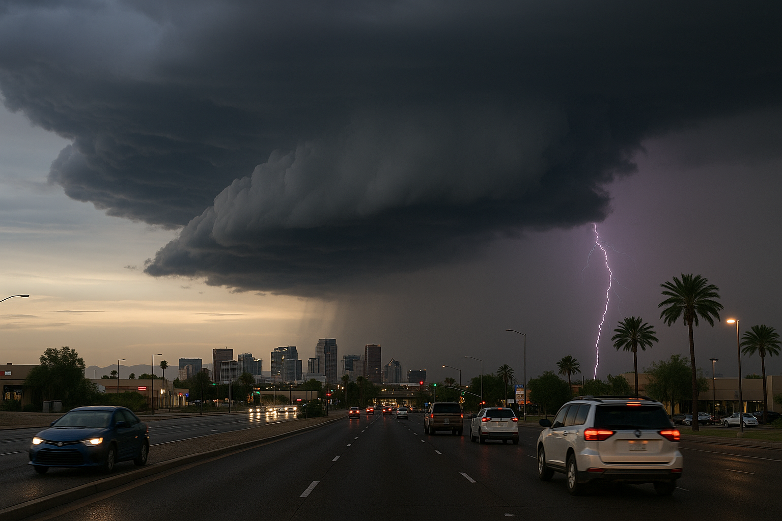
The Storm Prediction Center has placed Phoenix and southern Arizona under a slight risk for severe thunderstorms late Monday night and overnight, including the I-10 corridor between Phoenix and Tucson, according to Arizona's Family meteorologist Holly Bock. The National Weather Service Phoenix office and FOX 10 Phoenix are tracking the same pattern.
Storms are expected to fire up Monday evening across eastern and southeastern Arizona. If outflow boundaries push into the Valley, impacts could include blowing dust and the possibility for showers and storms to develop. Any storms that do develop could bring strong wind gusts, blowing dust and heavy rain. A 30% storm chance covers Monday night, with models not showing activity picking up until late.
A flood watch is in effect Monday for southern Arizona, including Tucson. Tuesday, the watch covers southeastern Arizona, now including Cochise County.
Storm chances climb to around 50% for Tuesday and Wednesday night, lingering into Thursday morning. The week also brings a modest temperature break, with highs around 105 degrees Tuesday, 101 Wednesday and 99 degrees Thursday, below normal for this time of year.
By Friday, storm chances are down and temperatures will heat up again.
Sources
Every factual claim in this article traces to one of the sources below. See how we work for the editorial process.
- AZ Family (3TV/CBS5) retrieved 10/08/2026 22:45
Authored by The Scottsdale Signal. Drafted by AI from primary-source material under our beat-specific editorial guides; reviewed by humans before publish under our five-gate process. Sources retrieved at 10/08/2026 22:45. Every claim traces to a source.

