


Highlights
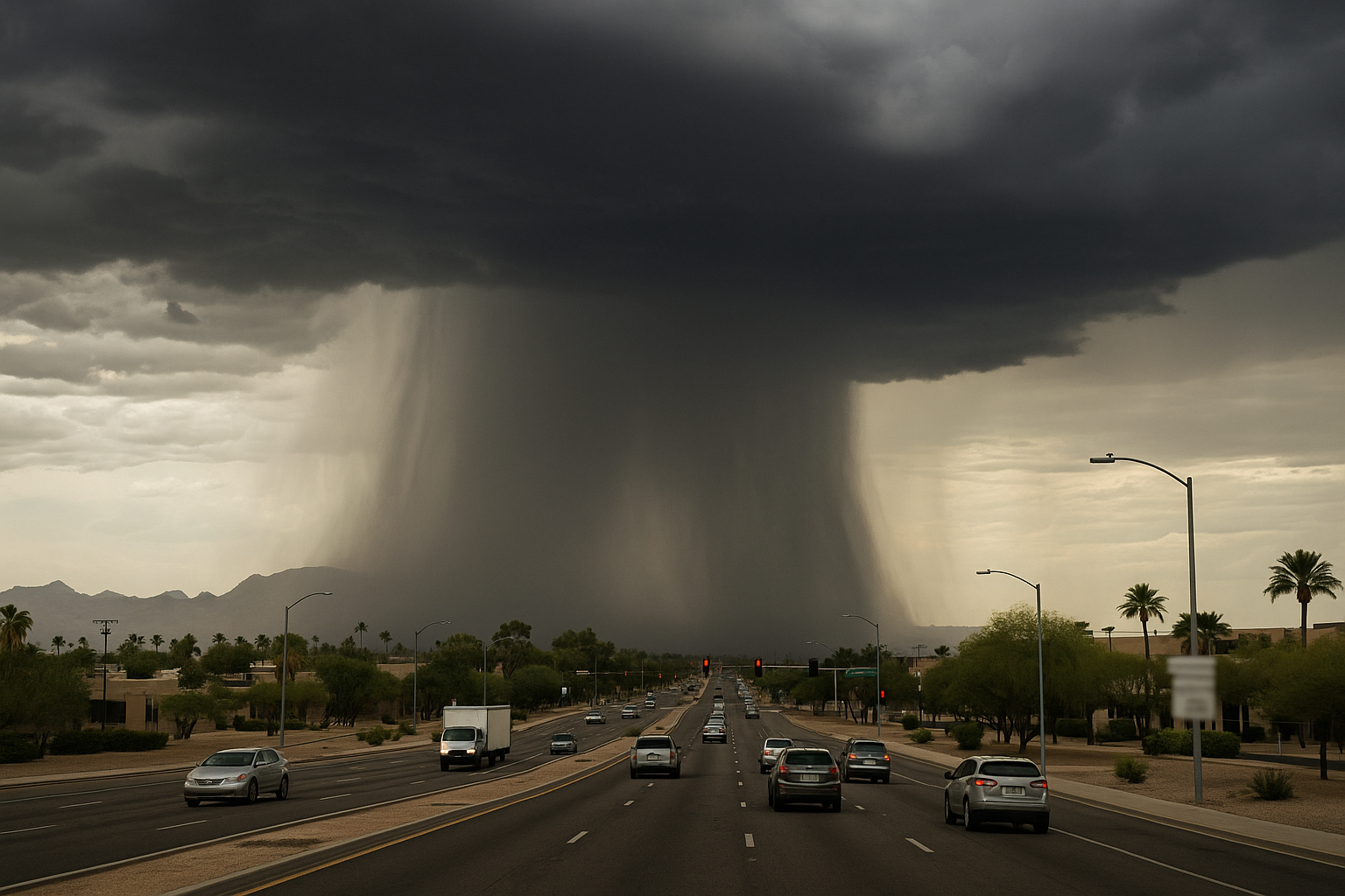
- Wednesday and Thursday are First Alert Weather Days, with storm chances near 50 percent, per Arizona's Family.
- Hazards include heavy rain, blowing dust, lightning, and gusty winds through Thursday morning.
- Temperatures drop to around 101 degrees Wednesday before rebounding to roughly 108 by Sunday.
- A drier, warmer pattern is expected for the weekend, with storm chances possibly returning next week.
Storm chances for the Phoenix area climb to near 50 percent Wednesday and continue into Thursday morning, Arizona's Family meteorologist April Warnecke reported Tuesday, with both days carrying First Alert Weather Day designations for active monsoon conditions. Heavy rain, blowing dust, lightning, and gusty winds are all possible.
Tuesday itself carries a lower storm probability, around 20 percent for the evening and overnight hours, following late-night storms that moved through the Valley Monday. Afternoon temperatures Tuesday are expected to reach 105 degrees.
The elevated storm threat comes with a brief cool-down: afternoon highs are forecast near 101 degrees Wednesday and 100 Thursday, both below the seasonal average. FOX 10 Phoenix separately confirmed the active monsoon pattern and the below-average temperature outlook for midweek.
A pattern shift brings drier air and warmer temperatures for the weekend, with valley highs climbing back toward 108 by Sunday and no significant storm chances expected. Storm chances could return next week, though Warnecke noted uncertainty remains on exact timing.
Sources
Every factual claim in this article traces to one of the sources below. See how we work for the editorial process.
- AZ Family (3TV/CBS5) retrieved 11/08/2026 14:15
- Fox 10 Phoenix retrieved 11/08/2026 14:15
Authored by The Scottsdale Signal. Drafted by AI from primary-source material under our beat-specific editorial guides; reviewed by humans before publish under our five-gate process. Sources retrieved at 11/08/2026 14:15. Every claim traces to a source.

