


Highlights
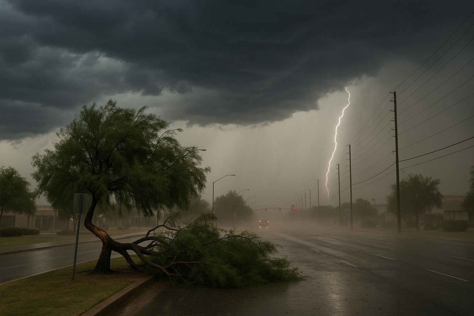
- Active storms, heavy rain, and gusty winds are forecast to continue across Arizona through Thursday.
- Phoenix high temperatures are expected to drop into the 90s during the storm pattern.
- The National Weather Service confirms thunderstorms will again develop over higher terrain this afternoon before pushing into lower elevations.
- Maricopa County's weather outlook notes enhanced gusty outflows due to evaporative cooling from drying in the mid-levels.
Active storms, heavy rain, and gusty winds are forecast to continue across Arizona through Thursday, with Phoenix high temperatures dropping into the 90s, FOX 10 Phoenix reported Tuesday.
The National Weather Service office in Phoenix says a similar pattern of thunderstorm development is anticipated this afternoon, with storms initially forming over the Northern and Eastern Arizona high terrain as well as portions of Southeast Arizona before outflows push into lower elevations. The NWS Area Forecast Discussion notes that shower and thunderstorm activity will again develop across the higher terrain of southcentral and southeast Arizona later in the day, bringing strong outflows into the region.
The Maricopa County Weather Outlook adds that storm prospects are elevated due to enhanced evaporative cooling from drying in the mid-levels, increasing the strength of gusty outflows. AZFamily also reported Tuesday that another round of storms is in store as monsoon activity rises across Arizona.
Residents should expect continued storm potential through Thursday.
Sources
Every factual claim in this article traces to one of the sources below. See how we work for the editorial process.
- Fox 10 Phoenix retrieved 11/08/2026 15:46
- weather.gov retrieved 11/08/2026 15:46
- forecast.weather.gov retrieved 11/08/2026 15:46
- Maricopa County retrieved 11/08/2026 15:46
- AZ Family (3TV/CBS5) retrieved 11/08/2026 15:46
Authored by The Scottsdale Signal. Drafted by AI from primary-source material under our beat-specific editorial guides; reviewed by humans before publish under our five-gate process. Sources retrieved at 11/08/2026 15:46. Every claim traces to a source.

