


Highlights
- NWS Phoenix issued a Flood Advisory for Gila and Maricopa counties at 8:10 p.m. MST July 12, expiring at 9 p.m.
- Between 0.25 and 1 inch of rain had already fallen; up to 0.25 inches more was expected.
- Affected locations include Canyon Lake, Apache Lake, Tortilla Flat, Tonto Basin, and Sycamore Creek.
- Officials warn drivers not to enter flooded roads; most flood deaths occur in vehicles.
FLOOD ADVISORY: The National Weather Service in Phoenix issued a Flood Advisory at 8:10 p.m. MST Sunday for Gila County in east central Arizona and Maricopa County in south central Arizona, effective until 9 p.m. MST.
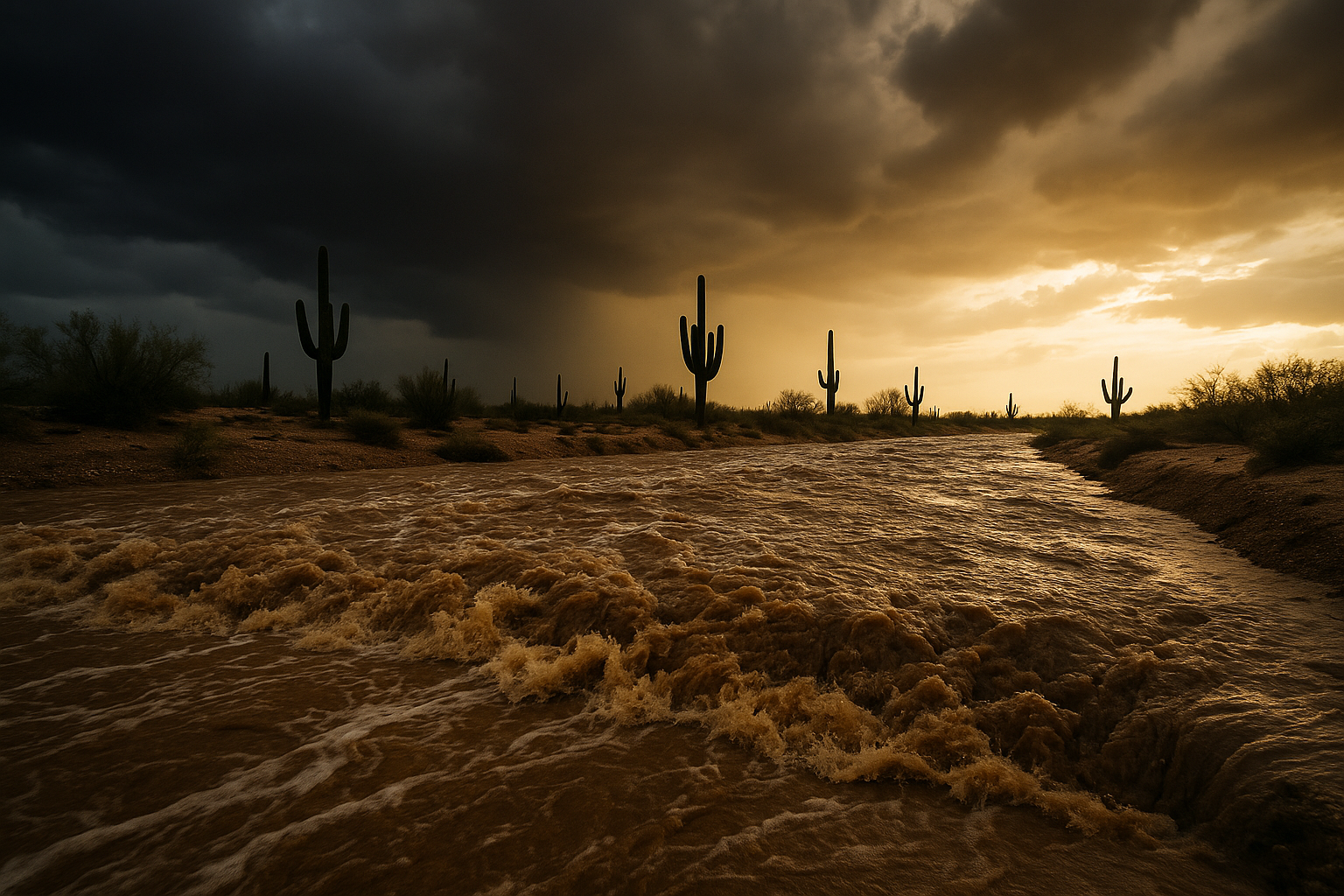
Doppler radar at the time of the advisory indicated heavy rain from thunderstorms, with between 0.25 and 1 inch already fallen across the advisory area. NWS said an additional 0.25 inches was expected, sufficient to produce minor flooding in low-lying and poor drainage areas.
Locations cited as likely to experience flooding include Ballantine Trailhead, Round Valley, Sugarloaf Mountain, Sunflower, Sycamore Creek, Four Peaks, Tonto Basin, Canyon Lake, Apache Lake, and Tortilla Flat.
NWS urged drivers to turn around rather than attempt flooded roads, noting that most flood deaths occur in vehicles. Campers and hikers were advised to stay away from streams and creeks. Additional flood safety information is available at weather.gov/safety/flood.
The advisory was rated minor severity. Residents in affected areas should monitor NWS Phoenix for any updates or extensions beyond the 9 p.m. expiration.
Sources
Every factual claim in this article traces to one of the sources below. See how we work for the editorial process.
- api.weather.gov retrieved 13/07/2026 03:15
Authored by The Scottsdale Signal. Drafted by AI from primary-source material under our beat-specific editorial guides; reviewed by humans before publish under our five-gate process. Sources retrieved at 13/07/2026 03:15. Every claim traces to a source.

