


Highlights
- NWS Phoenix issued a Flood Advisory effective 7:47 p.m. MST July 15, expiring 10:45 p.m. MST.
- Doppler radar confirmed 1 to 2.5 inches of rain already fallen, with 0.5 to 1 inch more expected.
- Arroyo and small stream flooding is expected in low-lying areas; Sentinel is among locations cited.
- NWS urges drivers not to enter flooded roadways, noting most flood deaths occur in vehicles.
FLOOD ADVISORY: The National Weather Service in Phoenix issued a Flood Advisory at 7:47 p.m. MST Tuesday for Maricopa County in south central Arizona and East Central Yuma County in southwestern Arizona, with the advisory in effect until 10:45 p.m. MST.
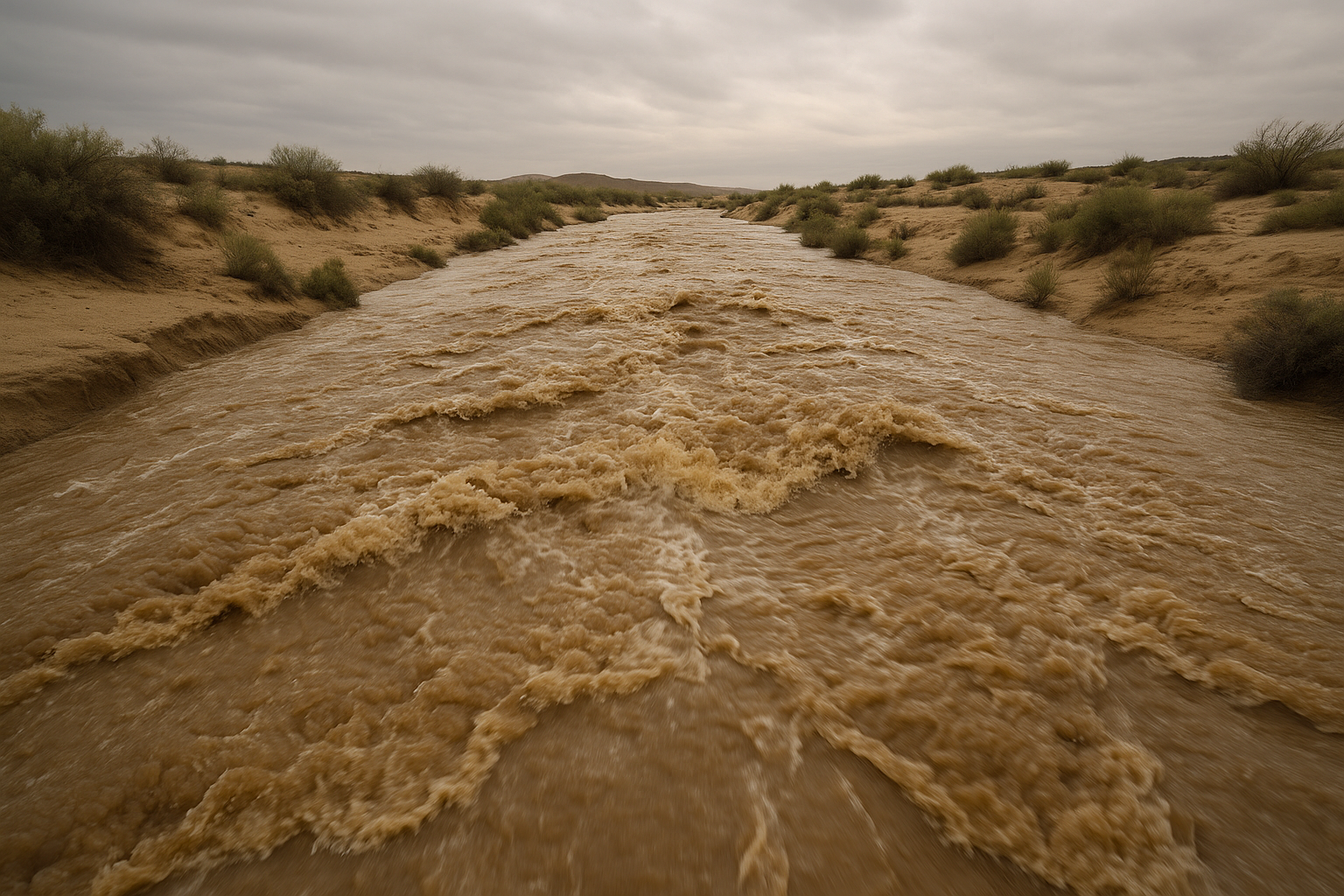
Doppler radar confirmed heavy rain from thunderstorms as of 7:47 p.m. MST, with between 1 and 2.5 inches already fallen across the affected area. An additional 0.5 to 1 inch of rainfall is expected, which NWS says will produce arroyo and small stream flooding. The advisory rates severity as minor, with impacts limited to low-lying and poor drainage areas. Sentinel is among the locations NWS identified as likely to experience flooding.
NWS is urging motorists to turn around rather than attempt to cross flooded roads, noting that most flood deaths occur in vehicles. The agency also cautions that nighttime conditions make it harder to recognize flood dangers.
Additional flood safety information is available at weather.gov/safety/flood. The advisory expires at 10:45 p.m. MST.
Sources
Every factual claim in this article traces to one of the sources below. See how we work for the editorial process.
- api.weather.gov retrieved 16/07/2026 02:52
Authored by The Scottsdale Signal. Drafted by AI from primary-source material under our beat-specific editorial guides; reviewed by humans before publish under our five-gate process. Sources retrieved at 16/07/2026 02:52. Every claim traces to a source.

