


Highlights
- A Flood Watch is in effect for Scottsdale and Paradise Valley from Thursday afternoon through late Thursday night.
- NWS Phoenix warns rainfall rates may exceed 2 to 3 inches per hour from slow-moving or stationary thunderstorms.
- Low-water crossings, rivers, creeks, and urban drainage areas face the highest flooding risk.
- The watch runs until 5 a.m. MST Friday, July 17; residents in flood-prone areas should be prepared to act.
The National Weather Service in Phoenix issued a Flood Watch at 1:02 p.m. MST Thursday covering Scottsdale, Paradise Valley, and more than two dozen other zones across Maricopa, Pinal, and Gila counties, with the watch running through 5 a.m. MST Friday, July 17.
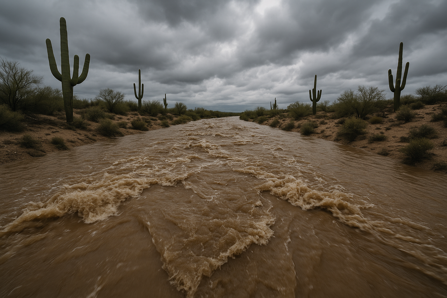
The agency warns that slow-moving thunderstorms feeding off a high-moisture environment may produce rainfall rates in excess of 2 to 3 inches per hour. Excessive runoff could flood rivers, creeks, streams, and low-lying areas, with low-water crossings and poor-drainage urban zones at particular risk.
The watch covers a broad swath of south-central Arizona, from the Aguila Valley and Tonopah Desert in the west through the Phoenix metropolitan area and east to Apache Junction, the Tonto Basin, and Globe.
NWS advises residents to monitor updated forecasts and be alert for possible Flood Warnings, which carry mandatory action requirements. Those in flood-prone areas should be prepared to move quickly if conditions deteriorate. Additional flood safety guidance is available at weather.gov/safety/flood.
The Flood Watch expires at 5 a.m. MST Friday, July 17.
Sources
Every factual claim in this article traces to one of the sources below. See how we work for the editorial process.
- api.weather.gov retrieved 15/07/2026 20:07
Authored by The Scottsdale Signal. Drafted by AI from primary-source material under our beat-specific editorial guides; reviewed by humans before publish under our five-gate process. Sources retrieved at 15/07/2026 20:07. Every claim traces to a source.

