


Highlights
- The National Weather Service issued a Severe Thunderstorm Warning for parts of Maricopa and Pinal counties at 8:18 p.m. Monday.
- A severe thunderstorm near Usery Mountain Park is moving northeast at 15 mph with radar-indicated 60 mph wind gusts.
- Affected locations include Mesa, Apache Junction, Falcon Field Airport, Lost Dutchman State Park, and Salt River Tubing Recreation Area.
- Torrential rainfall accompanying the storm may cause flash flooding; NWS advises moving to an interior room on the lowest floor.
The National Weather Service in Phoenix issued a Severe Thunderstorm Warning at 8:18 p.m. Monday for portions of Maricopa and Pinal counties, effective until 8:30 p.m. MST.
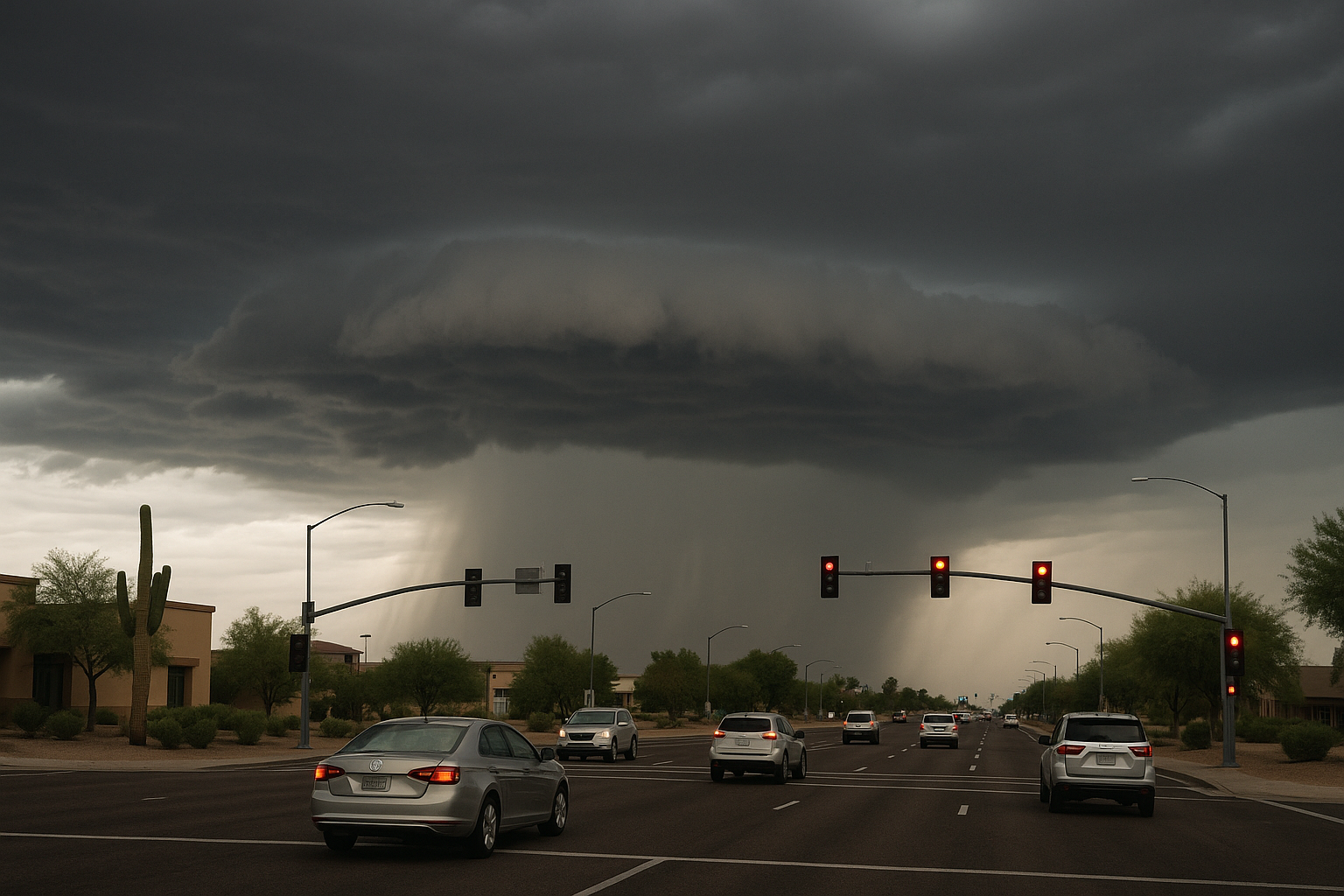
At the time of the alert, a severe thunderstorm was located over Usery Mountain Park, near Apache Junction, moving northeast at 15 mph. The NWS cited radar as the source and identified the primary hazard as 60 mph wind gusts, with expected damage to roofs, siding, and trees.
Locations in the warning area include Mesa, Apache Junction, East Mesa, Saguaro Lake, Falcon Field Airport, Lost Dutchman State Park, Goldfield, Usery Mountain Park, and Salt River Tubing Recreation Area. The warning covers US Highway 60 between mile markers 189 and 197 and AZ Route 202 between mile markers 21 and 32.
Torrential rainfall is occurring with the storm and may lead to flash flooding. The NWS advises residents to move to an interior room on the lowest floor of a building and to avoid driving through flooded roadways.
Monitor NWS Phoenix for updates as the warning expires at 8:30 p.m.
Sources
Every factual claim in this article traces to one of the sources below. See how we work for the editorial process.
- api.weather.gov retrieved 15/09/2026 03:23
Authored by The Scottsdale Signal. Drafted by AI from primary-source material under our beat-specific editorial guides; reviewed by humans before publish under our five-gate process. Sources retrieved at 15/09/2026 03:23. Every claim traces to a source.

