


Highlights
- The National Weather Service in Phoenix issued a Severe Thunderstorm Warning for Maricopa County effective 7:34 p.m. MST July 15.
- The storm is nearly stationary, located 28 miles northwest of Ajo, with 60 mph gusts and penny-size hail detected by radar.
- AZ Interstate 8 between mile markers 82 and 90 falls within the warned area; the warning expires at 8 p.m. MST.
- Torrential rainfall may cause flash flooding; NWS advises moving to an interior room on the lowest floor and avoiding flooded roadways.
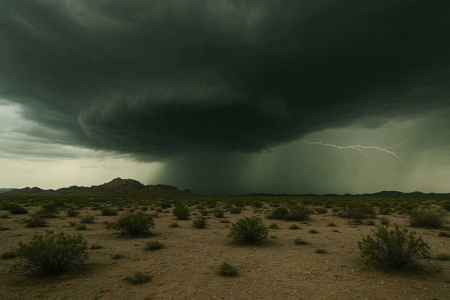
SEVERE THUNDERSTORM WARNING: The National Weather Service in Phoenix issued a Severe Thunderstorm Warning for Maricopa County in south central Arizona at 7:34 p.m. MST Tuesday, July 15, valid until 8 p.m. MST.
At 7:34 p.m., a severe thunderstorm was located 11 miles south of Sentinel, or 28 miles northwest of Ajo, and is nearly stationary, according to the NWS alert. The storm is radar-indicated and producing 60 mph wind gusts and penny-size hail. NWS warns to expect damage to roofs, siding, and trees.
The storm is expected to remain over mainly rural areas of Maricopa County. AZ Interstate 8 between mile markers 82 and 90 falls within the warned zone.
Torrential rainfall is occurring with the storm and may lead to flash flooding. NWS instructs residents to move to an interior room on the lowest floor of a building and to avoid driving through flooded roadways.
The warning expires at 8 p.m. MST; monitor the NWS Phoenix forecast office for updates.
Sources
Every factual claim in this article traces to one of the sources below. See how we work for the editorial process.
- api.weather.gov retrieved 16/07/2026 02:37
Authored by The Scottsdale Signal. Drafted by AI from primary-source material under our beat-specific editorial guides; reviewed by humans before publish under our five-gate process. Sources retrieved at 16/07/2026 02:37. Every claim traces to a source.

