


Highlights
- NWS Phoenix issued a Special Weather Statement at 1:19 a.m. Tuesday for the Northwest Valley, Buckeye/Avondale, and North Phoenix/Glendale areas.
- Doppler radar tracked a strong thunderstorm over Cashion moving northwest at 5 mph, with wind gusts up to 40 mph and pea-size hail possible.
- Affected highways include I-10 between mile markers 119 and 138, US-60 between mile markers 142 and 146, and AZ-101 between mile markers 2 and 9.
- NWS advised anyone outdoors to seek shelter inside a building; the alert was set to expire at 1:45 a.m.
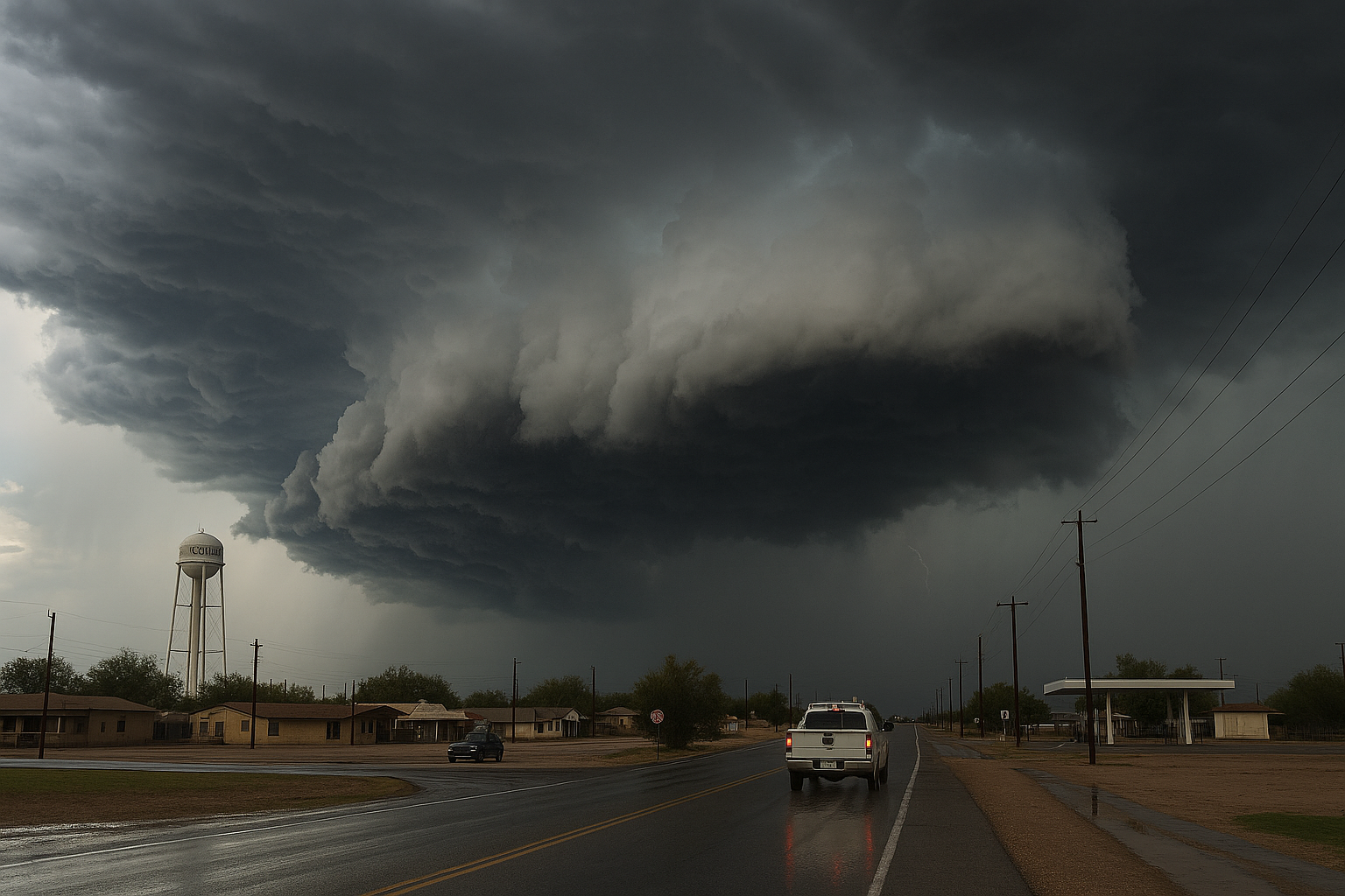
The National Weather Service in Phoenix issued a Special Weather Statement at 1:19 a.m. Tuesday for the Northwest Valley, Buckeye/Avondale, and North Phoenix/Glendale, warning of a strong thunderstorm tracked by Doppler radar over Cashion and moving northwest at 5 mph.
Hazards include wind gusts up to 40 mph and pea-size hail, according to the NWS alert. Gusty winds could knock down tree limbs and blow around unsecured objects, with minor damage to outdoor items possible.
Locations in the path of the storm include Phoenix, Glendale, Surprise, Avondale, Goodyear, Buckeye, El Mirage, Tolleson, Youngtown, Waddell, Cashion, Sun City West, Sun City, Litchfield Park, Glendale Sports Complex, Perryville, Luke AFB, Phoenix International Raceway, Camelback Ranch, and Surprise Stadium.
Highways under the alert corridor include AZ Interstate 10 between mile markers 119 and 138, US Highway 60 between mile markers 142 and 146, and AZ Route 101 between mile markers 2 and 9.
NWS advised anyone outdoors to consider seeking shelter inside a building. The statement was set to expire at 1:45 a.m.
Sources
Every factual claim in this article traces to one of the sources below. See how we work for the editorial process.
- api.weather.gov retrieved 11/08/2026 08:25
Authored by The Scottsdale Signal. Drafted by AI from primary-source material under our beat-specific editorial guides; reviewed by humans before publish under our five-gate process. Sources retrieved at 11/08/2026 08:25. Every claim traces to a source.

