


Highlights
- NWS Phoenix issued a Special Weather Statement at 9:20 p.m. Sunday covering Scottsdale, Paradise Valley and surrounding areas.
- Doppler radar tracked storms moving north at 10 mph along a line from Phoenix International Raceway to Freestone Park, with wind gusts up to 50 mph.
- Torrential rainfall with the storms raised localized flooding risk; NWS warned drivers not to cross flooded roadways.
- Frequent cloud-to-ground lightning was reported, with strikes possible up to 10 miles from storm cells.
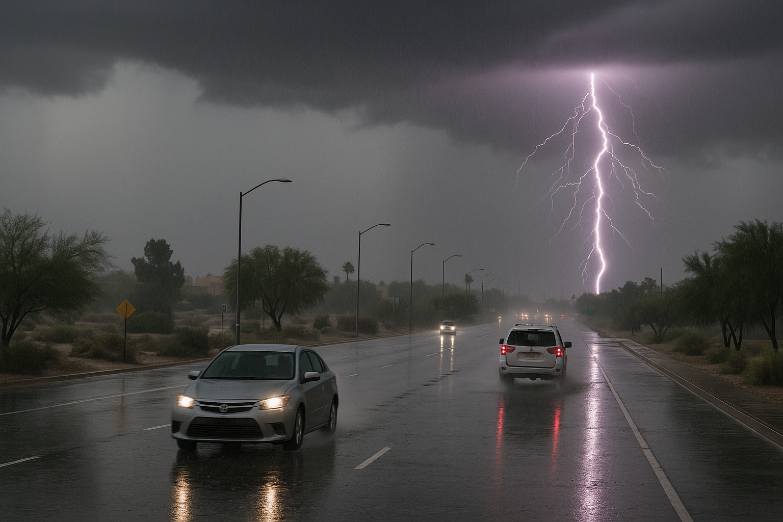
The National Weather Service in Phoenix issued a Special Weather Statement at 9:20 p.m. Sunday covering Scottsdale, Paradise Valley and a broad swath of the metro area, warning of wind gusts up to 50 mph and localized flooding from a fast-moving line of thunderstorms.
At 9:19 p.m., Doppler radar was tracking the storms along a line extending from near Phoenix International Raceway to near Arizona Mills Mall to Freestone Park, moving north at 10 mph. The statement listed Scottsdale, Phoenix, Mesa, Chandler, Glendale, Gilbert, Tempe, Avondale, Goodyear, El Mirage, Paradise Valley, Tolleson, Laveen, Cashion, East Mesa, Sun Lakes, Queen Creek, Litchfield Park, Tempe Marketplace and Piestewa Peak Park among affected locations.
Highway impacts covered AZ Interstate 10 between mile markers 127 and 171, AZ Interstate 17 between mile markers 195 and 208, and AZ Route 51 between mile markers 1 and 9.
The NWS warned that gusty winds could knock down tree limbs and blow around unsecured objects. Torrential rainfall raised the risk of localized flooding, and the agency advised drivers not to cross flooded roadways. Frequent cloud-to-ground lightning was also reported with the storms; NWS noted lightning can strike 10 miles from a thunderstorm and urged anyone outdoors to seek shelter inside a building or vehicle.
The statement was set to expire at 10 p.m. Sunday.
Sources
Every factual claim in this article traces to one of the sources below. See how we work for the editorial process.
- api.weather.gov retrieved 31/08/2026 04:21
Authored by The Scottsdale Signal. Drafted by AI from primary-source material under our beat-specific editorial guides; reviewed by humans before publish under our five-gate process. Sources retrieved at 31/08/2026 04:21. Every claim traces to a source.

