


Highlights
- The Extreme Heat Warning has ended; Friday's high of 106 degrees is still 4 degrees above normal.
- Highs are forecast to drop to about 104 degrees Saturday and Sunday, then near 100 degrees for much of next week.
- Storm chances climb from 10 percent Friday night to 30 percent Saturday night and 40 percent by Monday night.
- Heavy rain and strong thunderstorms are possible Tuesday and Wednesday across the Phoenix area.
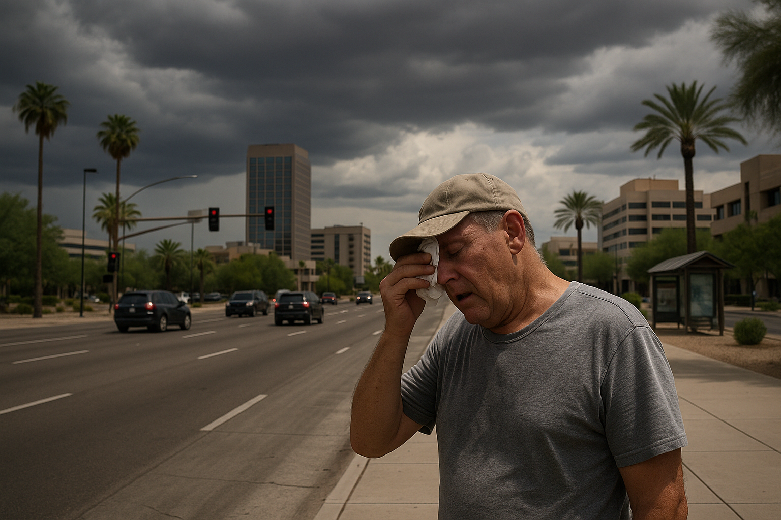
The Extreme Heat Warning blanketing the Phoenix area has ended, with Friday's afternoon high forecast at 106 degrees, down several degrees from recent days but still 4 degrees above normal, according to Arizona's Family meteorologist April Warnecke.
The cooling trend extends into the weekend as high pressure shifts away from Arizona and weakens. Afternoon highs should reach about 104 degrees Saturday and Sunday, with humidity levels remaining elevated.
Storm chances are near 10 percent Friday evening and overnight for the Valley, climbing to 30 percent Saturday night. By Monday night, rain and thunderstorm chances reach 40 percent and stay elevated through Tuesday and Wednesday, with heavy rain and strong storms possible. Highs should hold near 100 degrees for much of next week, with overnight lows in the upper 70s to low 80s.
Fox 10 Phoenix is also tracking the pattern shift, reporting increased storm chances across the state following the extreme heat stretch.
The next significant weather decision point is Monday night, when the 40 percent storm threshold arrives.
Sources
Every factual claim in this article traces to one of the sources below. See how we work for the editorial process.
- AZ Family (3TV/CBS5) retrieved 11/09/2026 13:39
- Fox 10 Phoenix retrieved 11/09/2026 13:39
Authored by The Scottsdale Signal. Drafted by AI from primary-source material under our beat-specific editorial guides; reviewed by humans before publish under our five-gate process. Sources retrieved at 11/09/2026 13:39. Every claim traces to a source.

